Travels to NW Arizona, Sedona, Grand Canyon West
Map of the area


Road to Grand Canyon West
Skywalk Views into the canyon, 4000 ft down


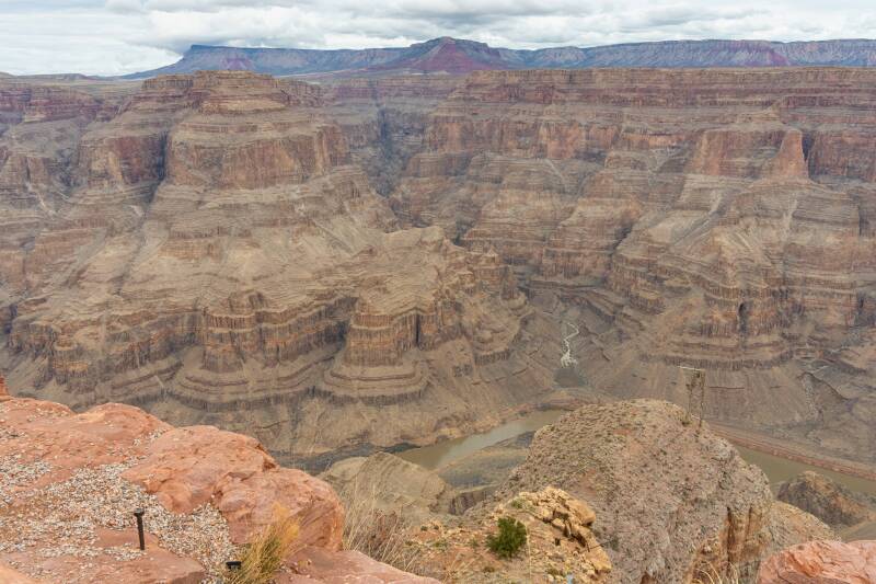
This part of Grand Canyon is in the lands of the Hualapai Nation.

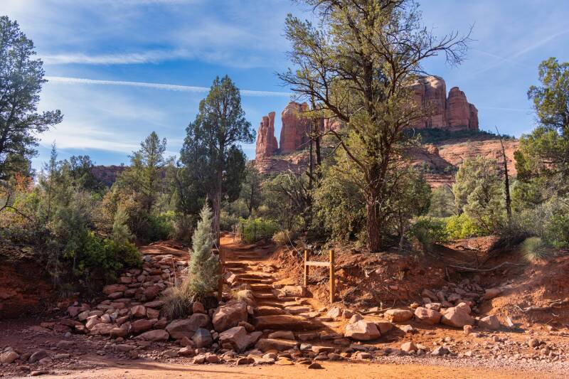
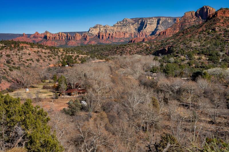
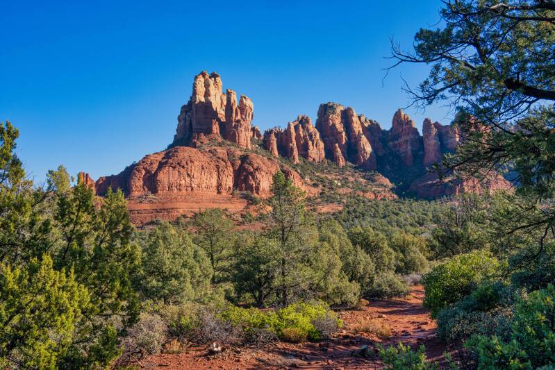
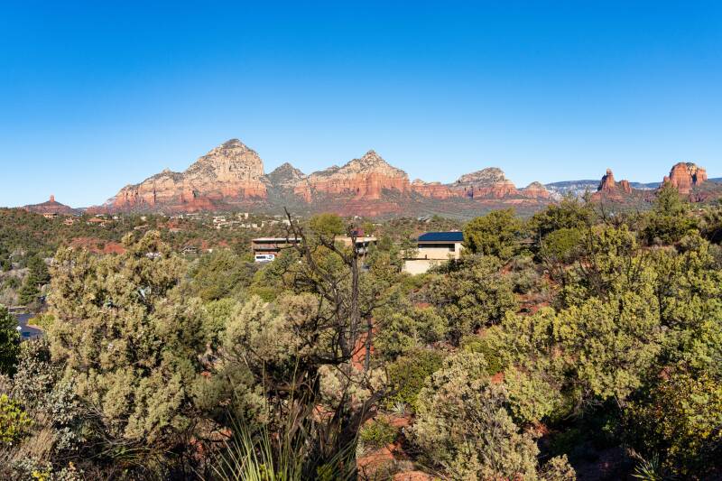
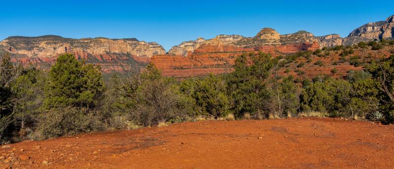
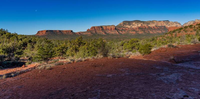
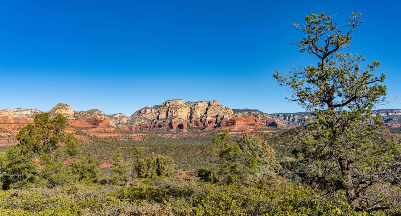
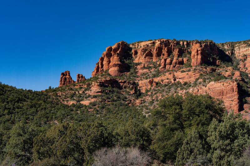
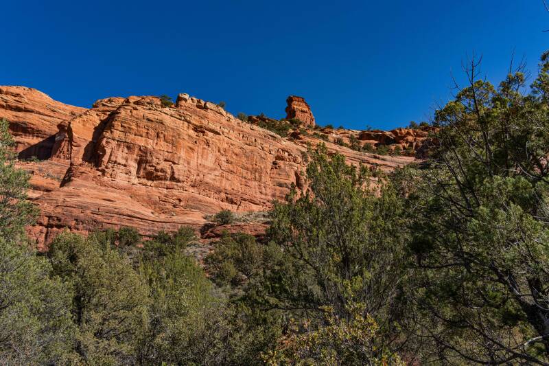
Sedona Arizona is a city of about 10,000 residents. It is surrounded by red rock mountains and spread over a large area of the valley. There are numerous trails through the valley, into the canyons, and up the mountains.

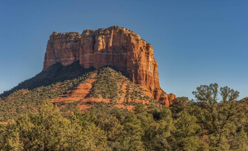
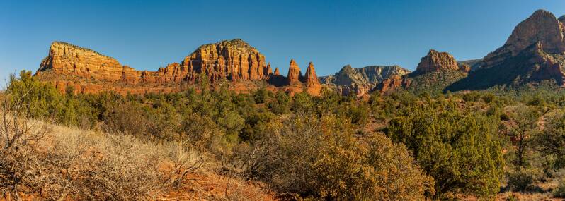
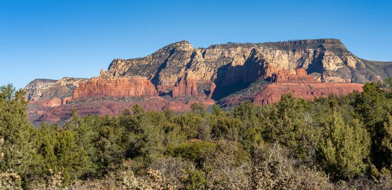
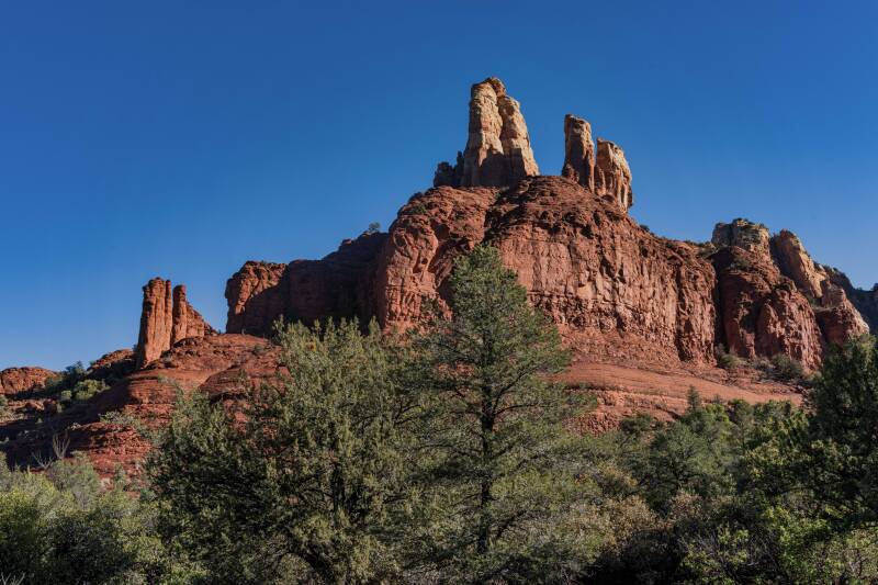
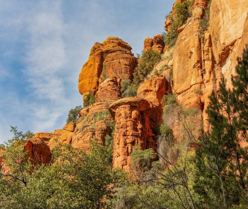
Many of the rock formations have been given names.
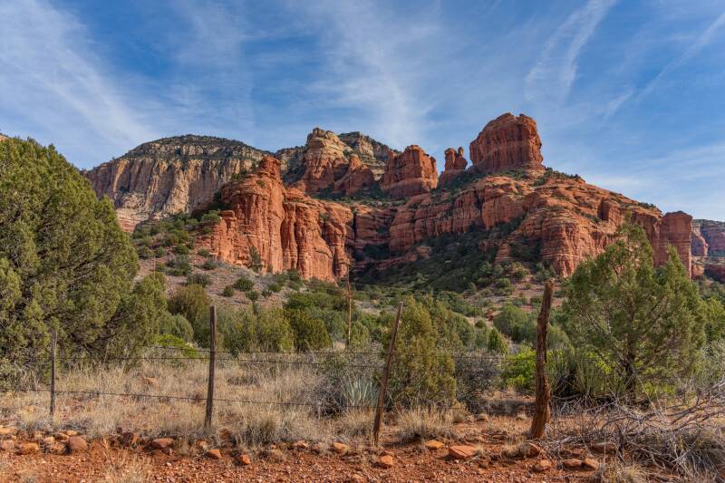
This is Cathedral Rock
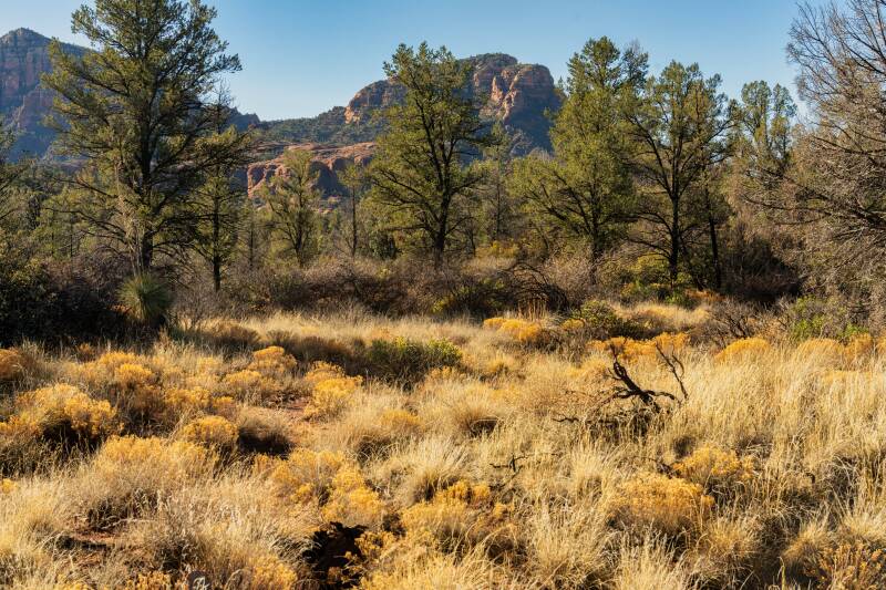
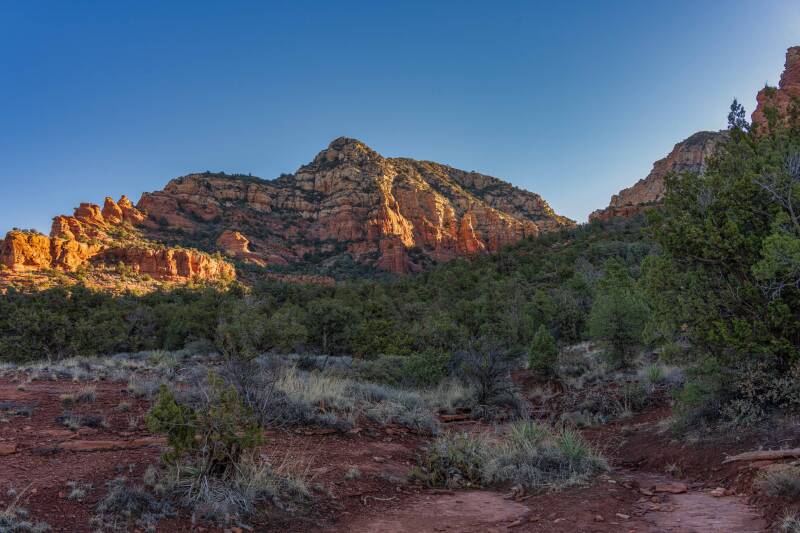
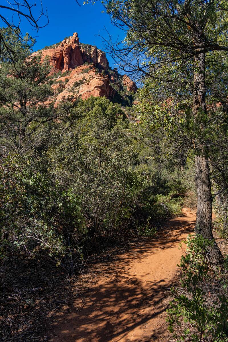
A typical trail in the Sedona area
Courthouse Butte from the south

Twin Buttes

Gibraltar Rock to the left

Sites along Red Rock Trail in Red Rock State Park

Courthouse Rock Big Bell Rock
Big Bell Rock

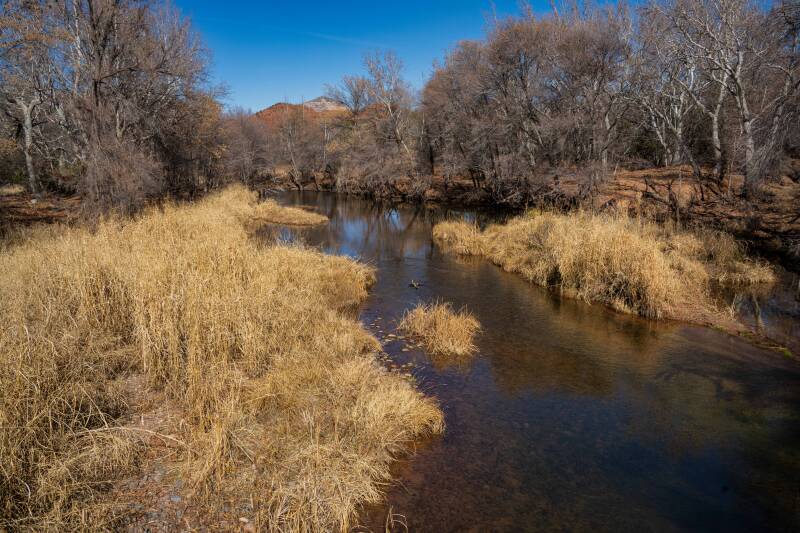
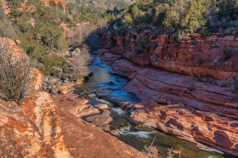
Oak Creek in Red Rock State Park
Baby Bell Rock Rabbit Ears Rock


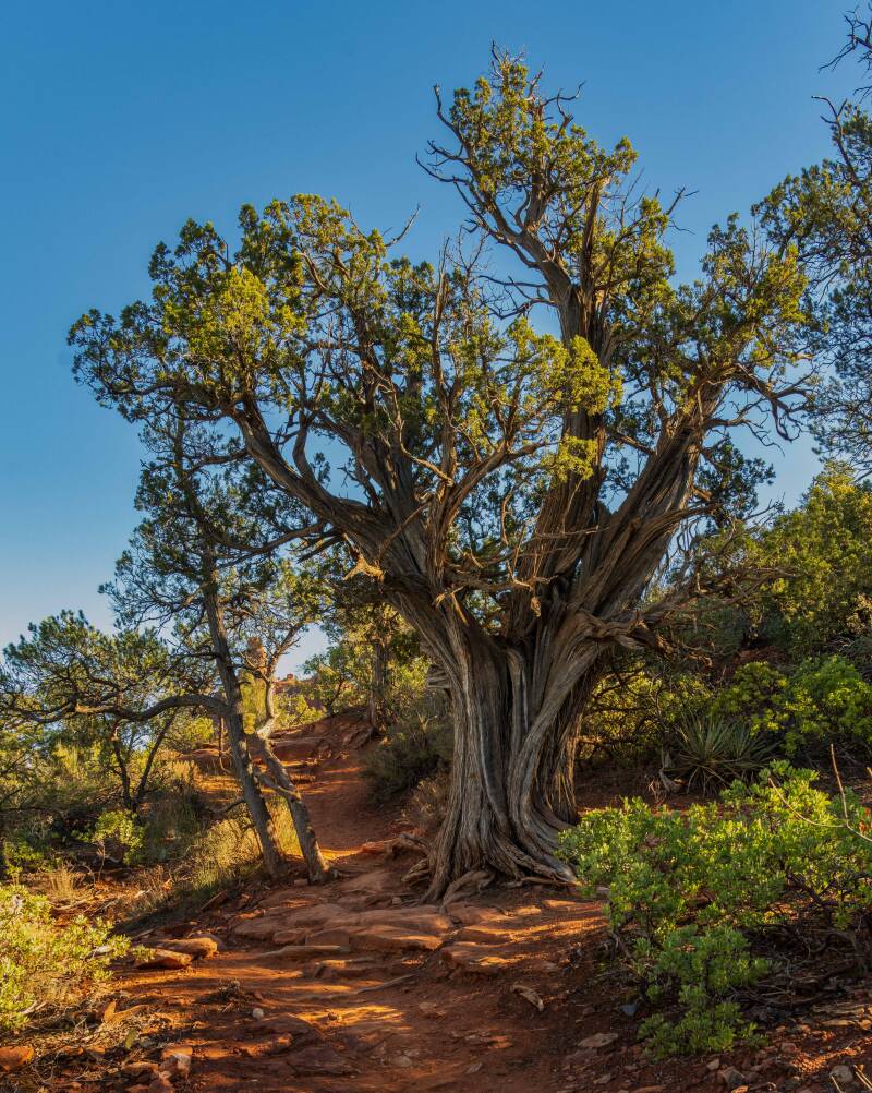
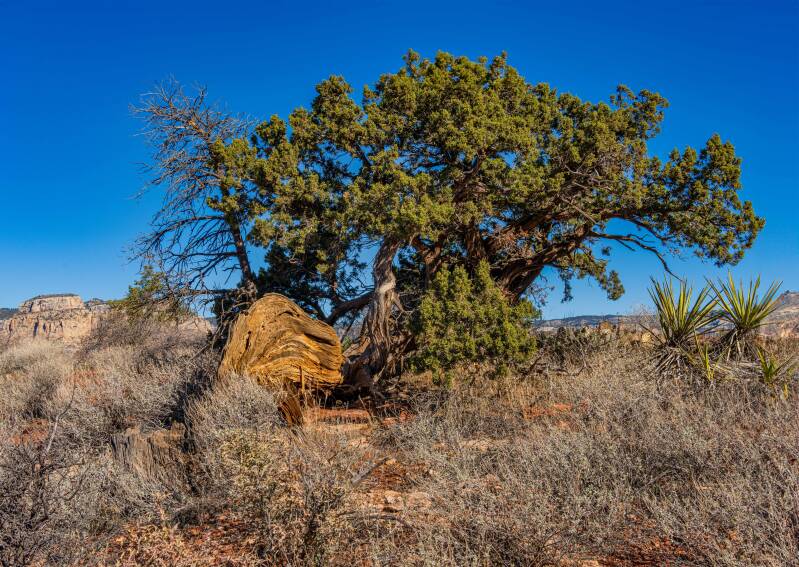
Old Juniper Tree
View along Margs Draw
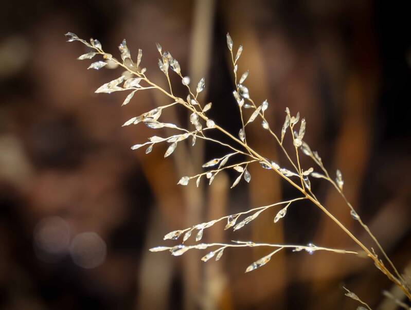
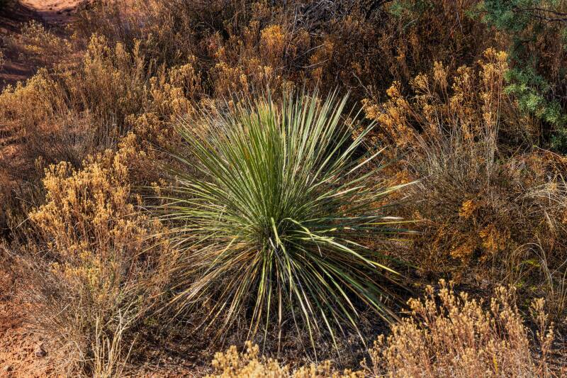
Dew on grass Yucca constricta
Andante Trail


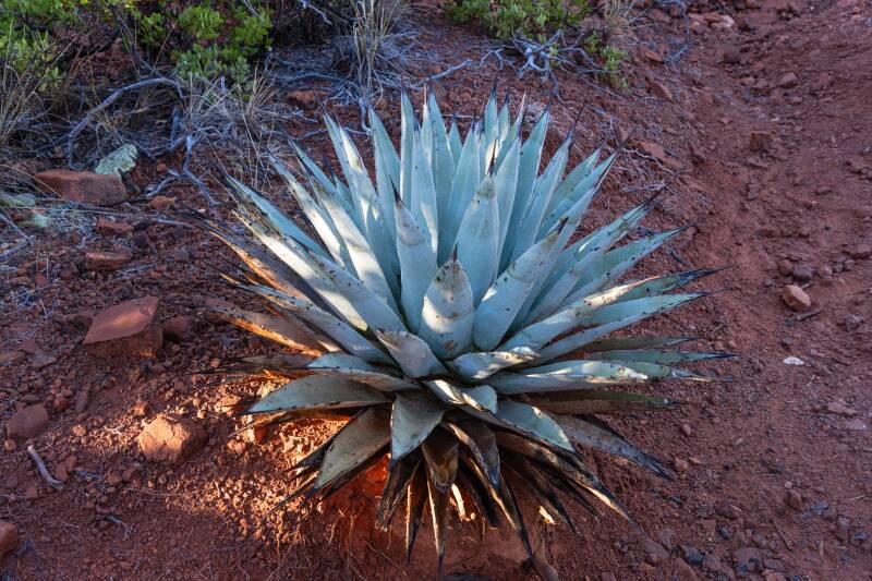
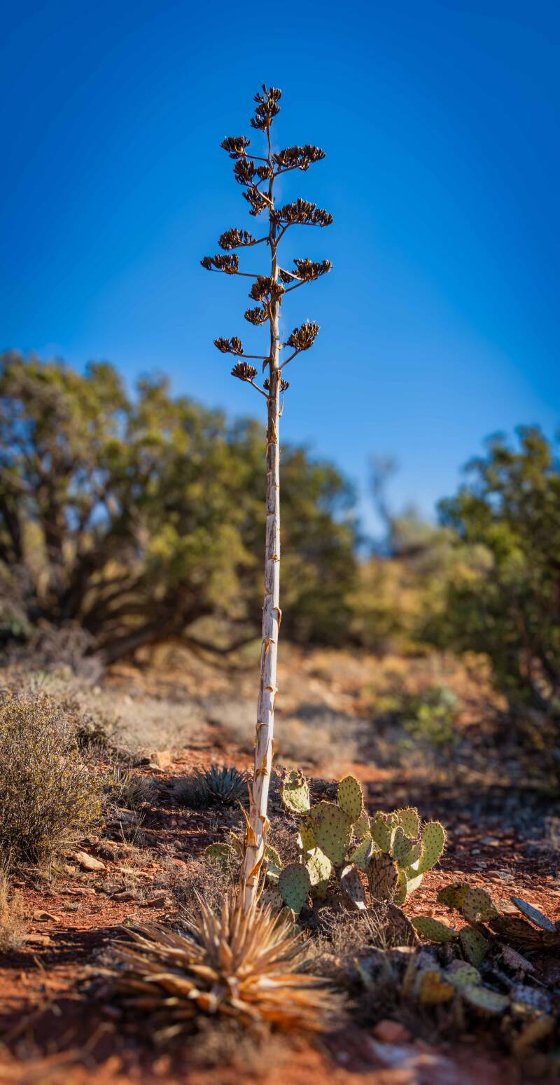
Parry's Agava
Boynton Canyon


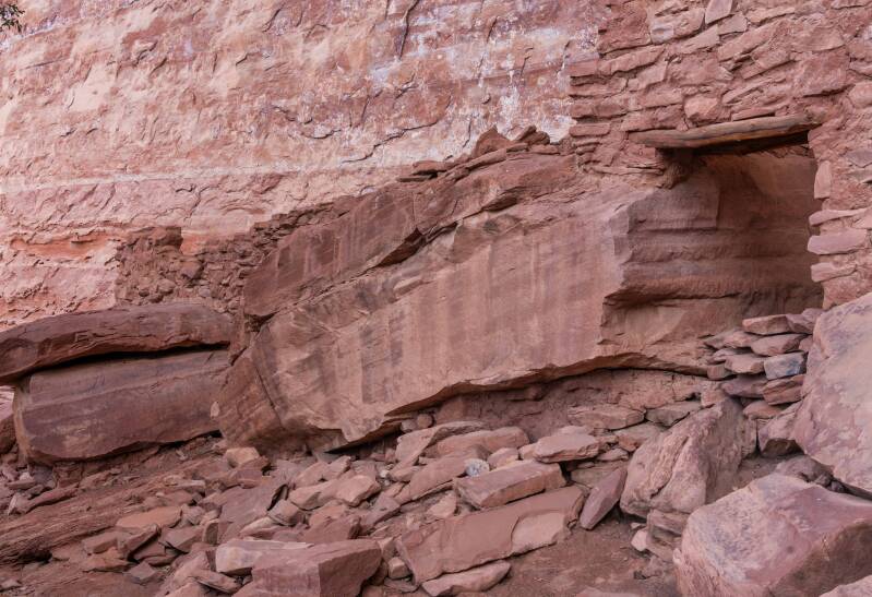
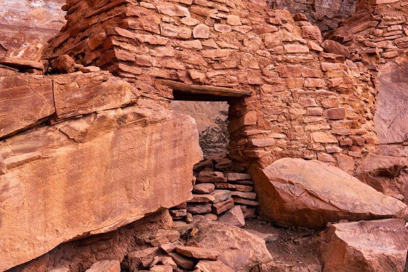
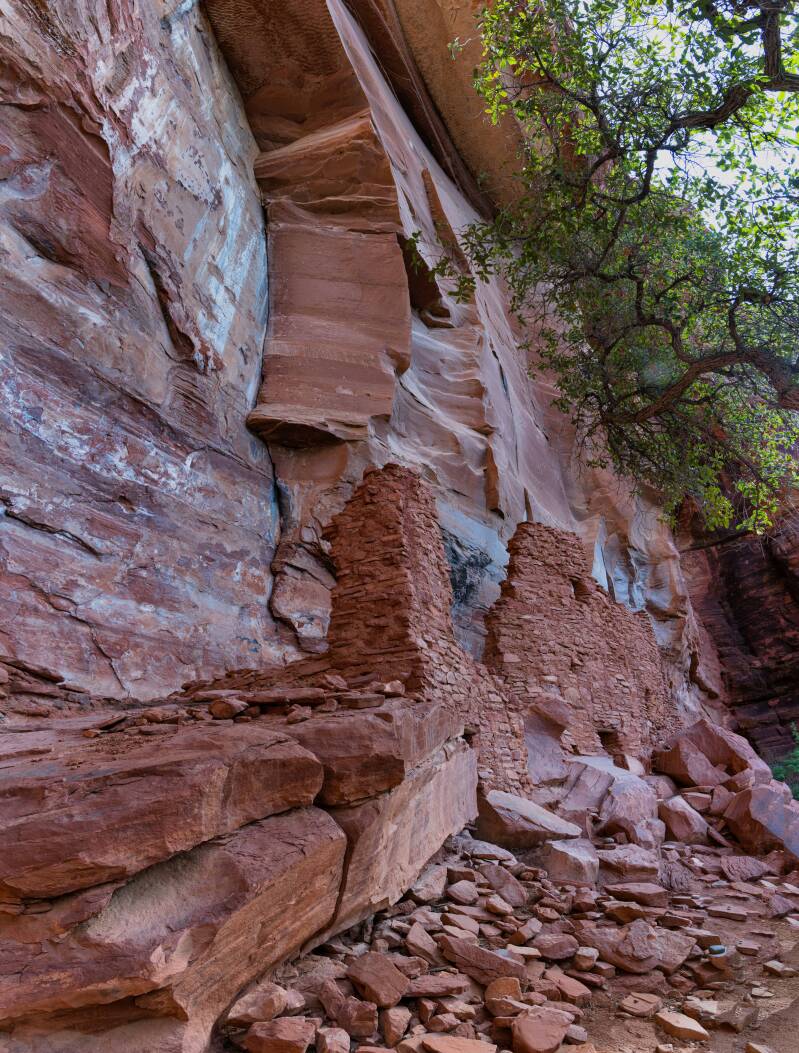
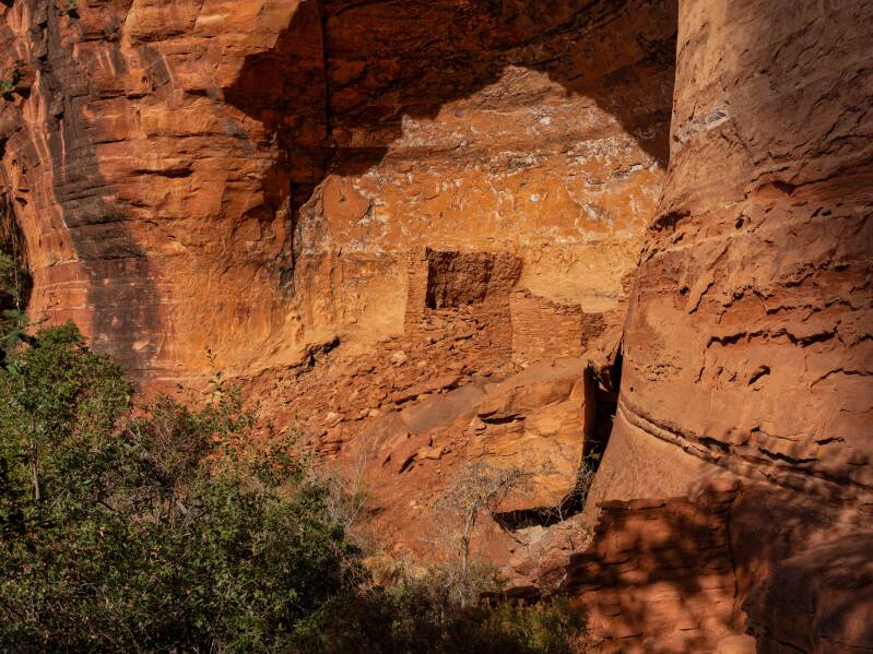
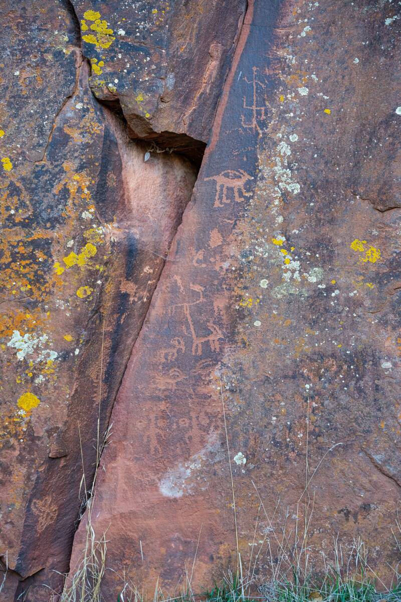
Palatki Heritage Site
Road to the Palatki Canyon, to the heritage site

Mountains in the canyon
Cliff dwelling ruins
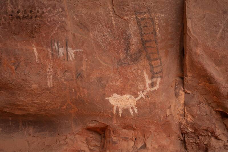
Petroglyphs at Palatki Heritage Site

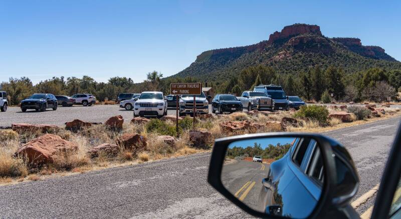
Fay Canyon


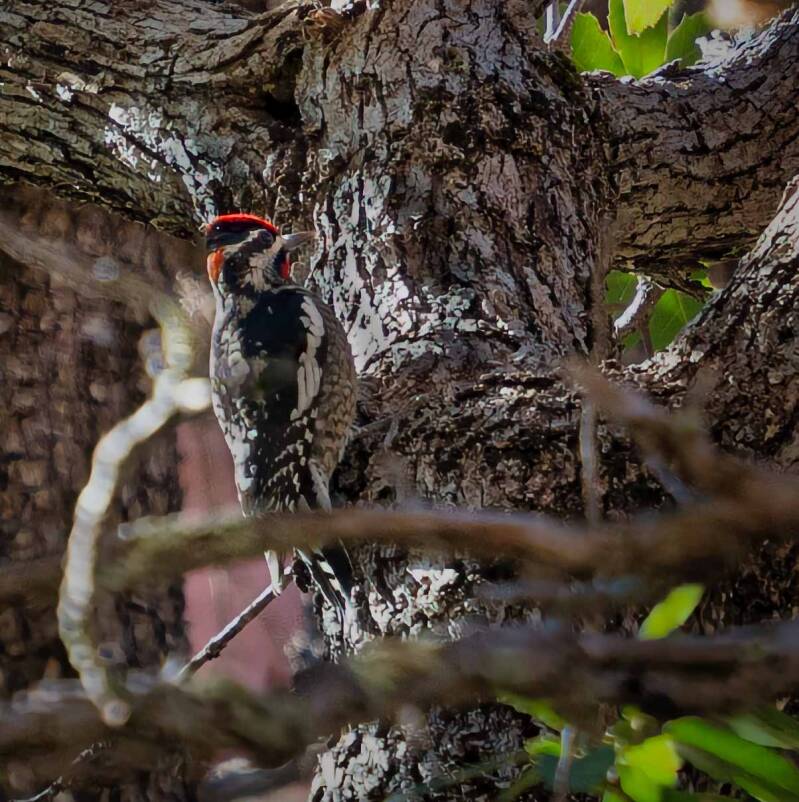
Yellow bellied Sapsucker
Midgley Bridge and Wilson Canyon


Slide Rock State Park
Example of a dry wash that fills with water during the rainy season.
Montezuma Well

Montezuma Castle National Monument
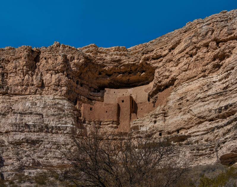
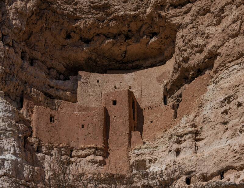

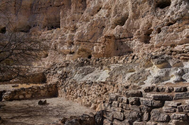
A number of separate areas of native homes (Sinagua people) carved into the limestone.
A model of what it may have looked like.

Tuzigoot National Monument


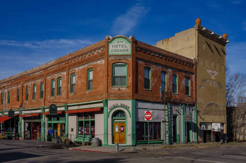
Prescott, Arizona - a mining ghost town transferred to a tourist town.


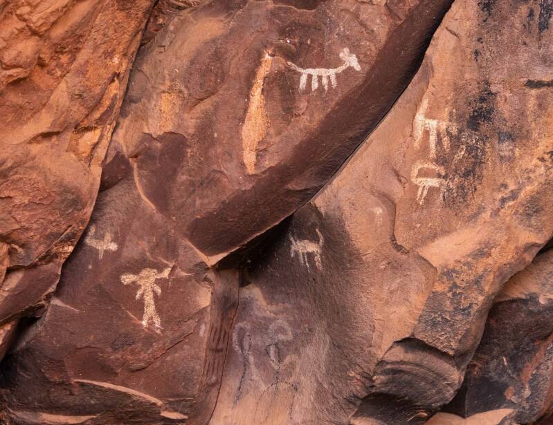
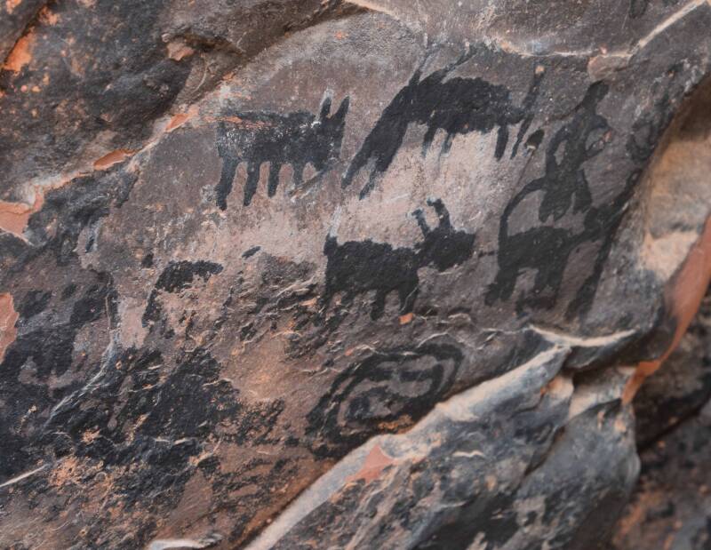
V bar V Heritage Site
This site is mostly undeveloped consisting of a large former Sinagua community and petroglyphs remains.

The Petroglyphs consists of a large wall of etchings and around the left corner a smaller wall.
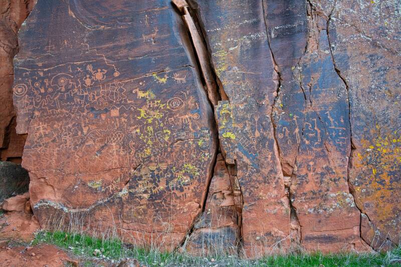
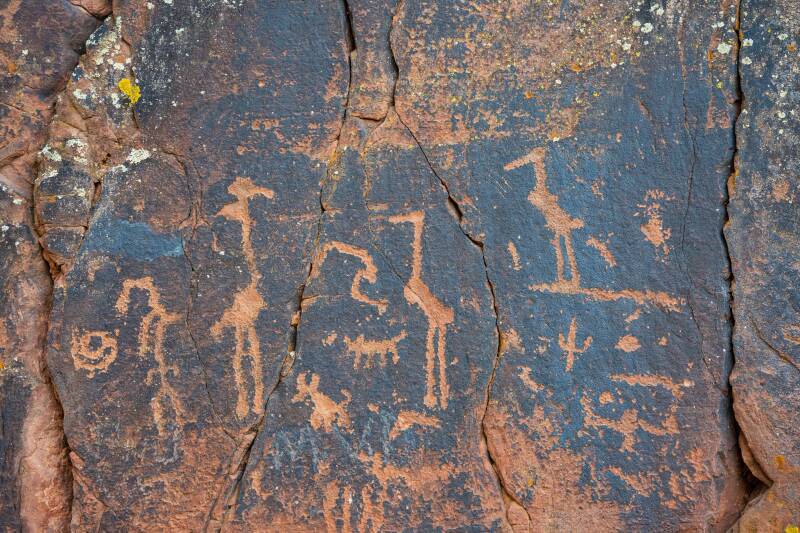


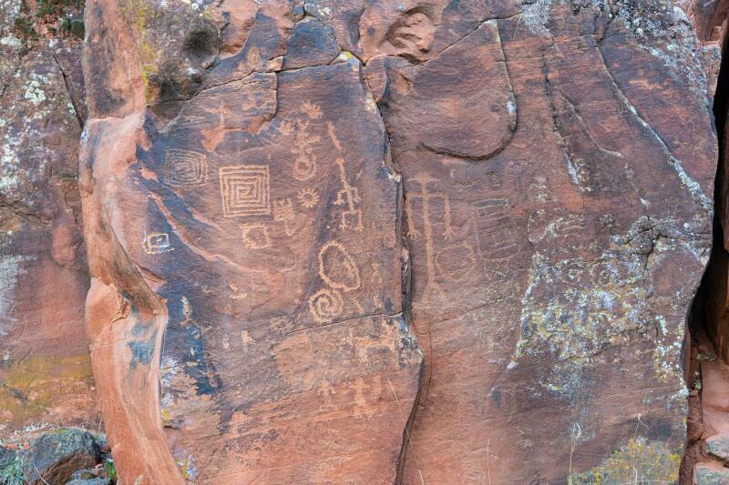
This is the largest and clearest Petroglyphs I have seen.
I wouldn't begin to explain what the images mean. The artist is the only person who can say for sure. Many professionals have stated their impression, but it is probably best to leave it to your imagination.